The Joint Information Platform for Natural Hazards (GIN) combines all available data on natural hazards in Switzerland in a user-friendly map application. It provides a solid foundation for identifying natural hazards early and mastering them successfully.


Extreme weather events such as storms, flooding and avalanches can never be accurately predicted. Federal, cantonal and local safety experts often find themselves having to decide on protective measures under great time pressure. In doing so, they rely on a wide range of information such as water level and flow measurements, weather and hazard forecasts and much more. Since early summer 2017, this information is available centrally to experts via the Confederation's Joint Information Platform for Natural Hazards (GIN).
Everything on one platform
This information has been available centrally to experts via the Confederation’s Joint Information Platform for Natural Hazards (GIN) since summer 2017. It includes measurements and observation data, predictions, warnings, models and bulletins. Crisis teams can access all data free of charge:
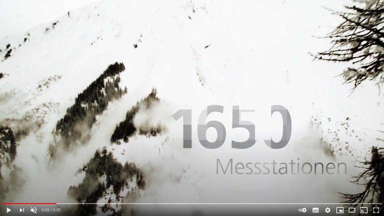
- Real-time measurement data from 1,200 weather stations, 300 water-monitoring stations and 150 snow-monitoring stations
- Weather forecasts and predicted water levels and flows
- Earthquakes with expert assessments
- Imaging data such as satellite images or precipitation radar
- Natural hazard warnings
- Situation assessments by experts provided in bulletins
Who can use GIN?
Federal, cantonal and local natural hazard experts have access to the platform free of charge once they have registered. GIN currently has around 3,000 users, including:
- Emergency services
- Civil defence personnel
- Armed forces
- Cantonal specialist staff
- Natural hazard advisors to municipalities
- Regional management staff
- Mountain railway operators
- Private engineering firms
The platform is available solely to protect the public from the impact of severe weather or other natural hazards. Commercial use is prohibited.
Last modification 03.07.2025